Land Utilization

Jun 07, 2019 • 145 views
Karnataka is geographically well placed. It has varied physical features, soil,vegetation ,minerals, water and ground water resources. Land is the most important natural resources
Its proper use enables the state's developemt.
Land utilisation
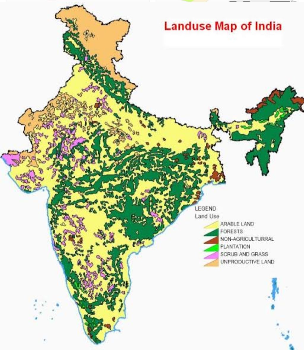
Use of land for various purposes is called 'land utilisation' . Under this title are included cultivable land, forest area , fallow land , land for residential purposes, for the construction of roadways ,railways , dams, canals, barren land, land used for gazing purposes etc ., Proper utilization of land is the foundation for economic development.
Karnataka has 19.05 lakh Hectare of geographical area. It is used for many purposes
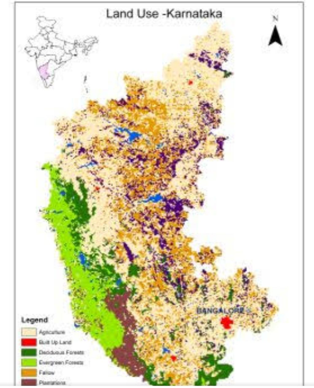
Pattern of land utilization
Net area sown
The distrubution of net area sown is not the same all over the state. Gulbarga district has the largest area under cultivatable land in the state. It is followed by Belagavi, Vijayapura, Tamakuru, Raichur, Bagalkot, Ballari, Chitradurga and Mysuru districts.
Bengaluru has the least net area sown, due to wide-spread urbanization . Uttar kannada, Dakshina Kannada , Udupi and Kodagu have less cultivable land.
Forest area
Uttar kannada district has large forest area. Shivmoga ,Chamarajanagar, Chickkamagalur, Kodagu, Belagavi, Dakshina Kannada, Udupi and Bellari districts also have sufficiently large forest areas. However, Vijayapura has the least forest area. Even Bengaluru , Bengaluru Rural, Raichur, Bidar and Gadag districts have less forest area.
land not fit for cultivation
This land is not used for cultivation but for other purposes like rail routes, roads, residencies, industry and irrigation projects. In recent times, use of land for such developmental purposes is increasing. Bengaluru Urban district in first place is given for such purposes . It is followed by Shivmoga, Tumakuru, Belagavi, Ballari, Mysuru and Dhakahina Kannada districts.
It is least in Bidar district. It is moderate in the other districts.
Some other uncultivated land
This land use consists of permanent grazing land, trees and grooves. It is found largely in Sivmoga, Tumakuru, Kolar, Chikkamagaluru and Chitradurga districts. It is least in Gadag, Bagalkot and Dharwad district. Such land can be reclaimed and used for agriculture.
Fallow land
Land which has not been cultivated for more than two or three years is called fallow land. Kalaburgi district has the largest area as fallow land. It is followed by Raichur, Belagavi, Vijayapura, Koppal, and Tumakuru districts. There is very little fallow land in Chickkamagaluru, Kodagu, Mysuru, Uttar Kannada and Udupu districts. However, such land areas have increased in these districts. Such land also can be reclaimed and utilised for agriculture.
Agriculture
The cultivation of the land for raising crops is called agriculture.
Animal husbandary ,poultary ,bee-keeping ,sericulture are included under agriculture. Nearby 61.4% of the people in Karnataka are in rural areas and they depend on agriculture for their livelihood.
Agriculture is one of the ancient, primary occupations of Karnataka. It is the main source of livelihood for many. It is the backbone of our state‘s economy. Economic progress depends on agriculture. Agriculture provides employment to people. It also provides food for the people and raw materials to industries. It is a source of revenue to the state and earn foreign exchange.
Coffee,silk,spices,tobacco,cotton etc are the agriculture products which are exported. Agriculture helps in the development of teritery occupations like transport, banking , insurance etc.
It plays an important role in the political and social systems of the state.
Recommended
