How Does Google Maps Work?
Apr 23, 2019 • 12 views
Long gone are the days when we needed to pull out a large paper map and navigate to places with the help of a compass. Now pick your smartphone and say “Ok google, navigate to Starbucks” and you are good to go!
Google Maps currently one of the best tools and most widely used application for navigation. It not only shows the shortest route, but it shows the best route considering traffic and other factors into account. Want to try a new restaurant, ask google. It not only takes you to that restaurant but also shows you the opinion of others who’ve been there in the form of ratings and reviews.
But how does it actually work? We got it covered for you:
The Beginning
Maps was not the original idea of google. Google acquired the idea of two Danish brothers, Lars and Jens Eilstrup Rasmussen, and launched the company Google Maps in 2005. Google also acquired a company named “Keyhole” the same year which was later developed and launched as Google Earth. In 2007, the Google Maps 2.0 for mobile was launched which has the feature of my location (beta).
The Services
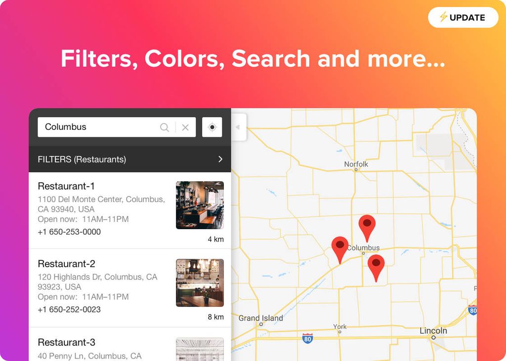
Beside navigating to your favourite places, Google Maps provide services like traffic condition, street view, satellite view, etc. You can see 3d images of the place using satellite view. These images are more clearer for popular cities. Combined with the street view, you can do a virtual tour!

How does it actually work?
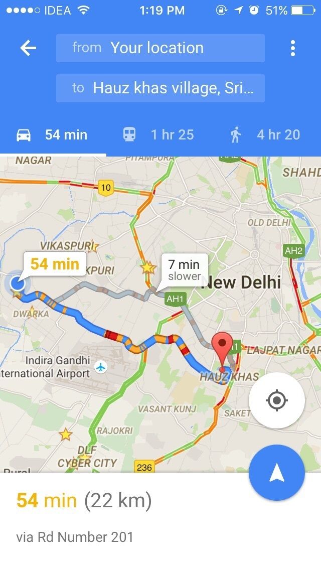
When you search for a place in google maps, it searches its database with the help of it’s AI and the data it has collected of you. Then it analyses the traffic data and gives you the best possible route.
How does it collect the data?
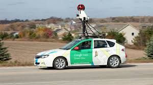
Google with the partnership of various government organisations collects the data of street routes and how narrow the street is. For the services like street view, Google has street view cars roaming around the popular cities of the world with 360° cameras. Google also use its geo-stationary satellite data to capture real time image of various parts of the globe. This facility is used in satellite view.
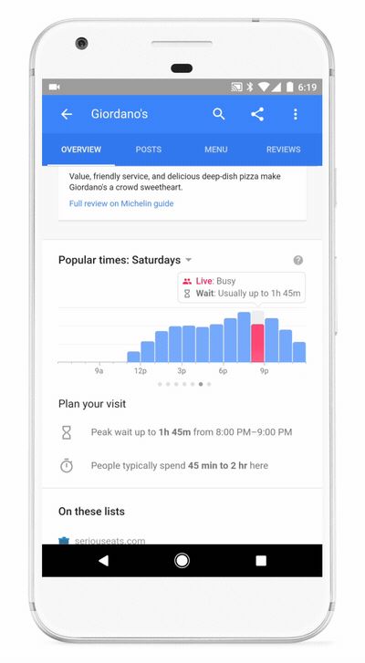
Google also collects your personal data. When and where you, google knows it all. Based on that data google provides information about the peak hours of a particular public place. The bar graph you see is the result of that.
Your data is not just used to make Maps better, it is also used to provide you personalised information.
